


Select Language
Digital Products
 |
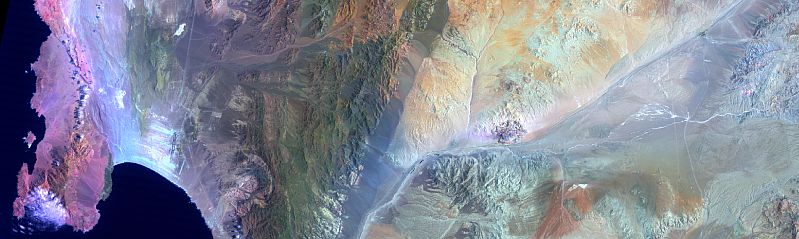
A Web Portal designed primarily for Natural Resources featuring Digital Compilations of Geological, Geochemical, Geophysical, Topographical and Remotely Sensed Airborne and Satellite Imagery.
- Digital Geographic Information Systems (GIS) Databases featuring compilations of geological, geochemical, mineral deposits, topographical and remotely sensed airborne and satellite imagery.
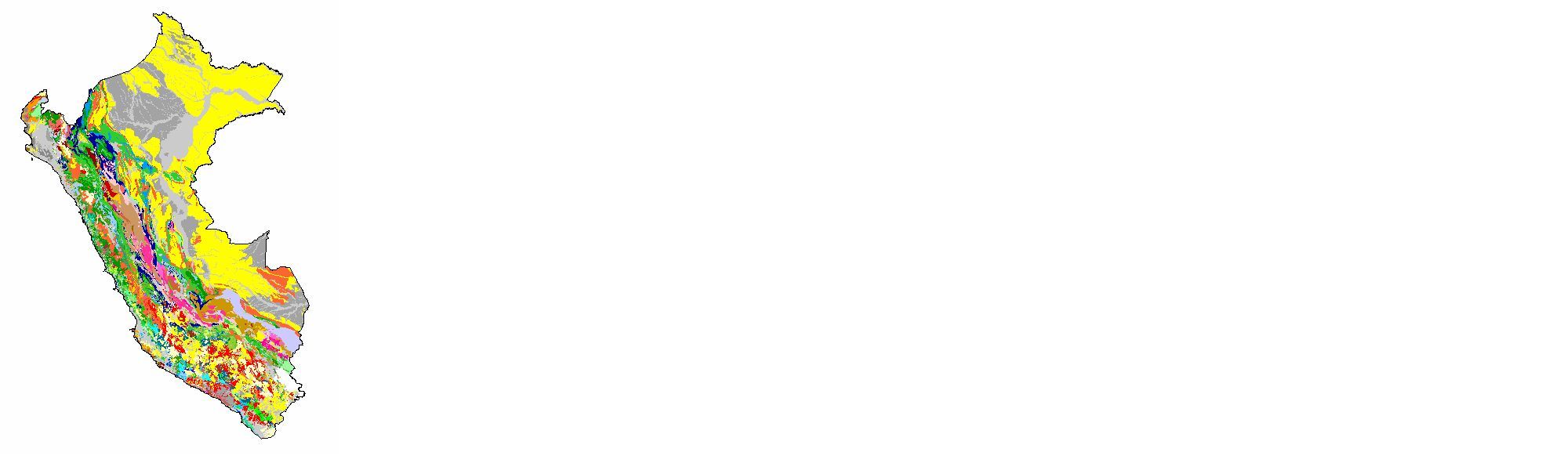
- Designed and developed comprehensive digital databases for South America (Argentina, Bolivia, Brazil, Ecuador, Chile, Peru, Colombia), South East Asia (Cambodia, Vietnam) and many other areas.
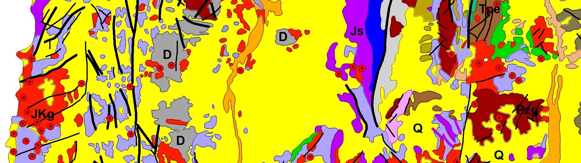
One of the highlighted products is the Andean Cordillera Digital Geologic Compilation. A comprehensive GIS database of the complete South American Andean Cordillera that extends from Colombia to Tierra del Fuego. The product consists of geologic, geographic, attribute and textural data that can be accessed, queried, displayed, and modified with ESRI ArcGIS or MapInfo software.
The compilation of the Andean Cordillera bedrock geology represents the first attempt in providing a uniform cross-border digital geologic record of the entire Cordillera from existing map information.
All data are in the Geographic projection (latitude/longitude decimal degrees) and are delivered in a variety of industry standard formats such as ESRI ArcGIS Geodatabase, Shape File or MapInfo formats .